The University of South Florida St. Petersburg has won a $1.5 million National Science Foundation grant to fund the development of a new app.
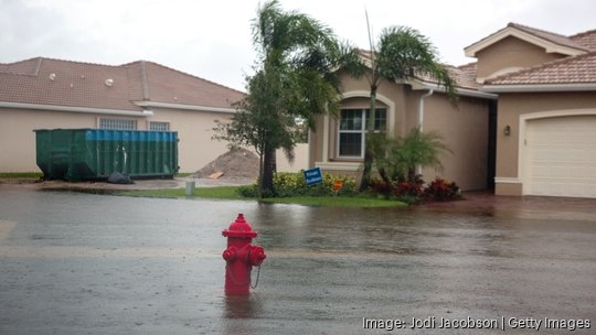
Researchers at USF St. Pete are working on a web application that gathers crowdsourced data in coastal communities to identify flood risks and inform policy, according to a release. The effort is led by Barnali Dixon, USF St. Pete GIS and remote sensing professor. The team will create the CRIS-HAZARD app, based on the existing Community Resiliency Information System platform created in 2020.
The new app aims to combine volunteer geographic information and community crowdsourced data, including photos and videos, with near real-time flooding data. It will use modeling and mapping tools, including artificial intelligence, and will "identify and extract estimated water elevation for near real-time flood models that can inform emergency managers and policymakers," the release said.
“To develop a custom policy that meets the needs of each unique community, you need to know the data,” Dixon said. “The power of this system is that it allows us to see the needs of these communities on a very granular scale, so you can then put policies in place.”
She's worked within the St. Pete Childs Park neighborhood for years and has shown that the residents there successfully used the system to prepare for extreme storms. The app lets participants see maps and their risk of storm surge and sea level rise. The app also accepts feedback for improvement.
The research team will continue to work with Childs Park leaders and plans to expand to other areas in Pinellas County such as Shore Acres, West and East Lealman and Bahama Shores, the release said.