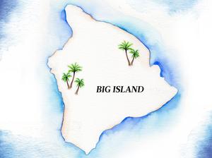
The University of Hawaii at Hilo and Hawaii County are partnering on a project to catalog the coastline of Hawaii Island and analyze sea level encroachment to inform future infrastructure decisions.
The community project to map 428 kilometers of often-rugged coastline, led by UH Hilo geography professor Ryan Perroy and Hawaii County Planner Bethany Morrison, was featured in a video by the U.S. Geological Survey at the COP26 global summit on climate change in Glasgow, Scotland, on Nov. 8. The video's theme was, "Communities on the front line and local leaders that support them."
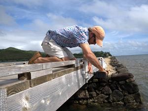
Along with UH Hilo student Aloha Kapono, Perroy and Morrison are using a helicopter and a custom imaging system to map the coastline and create three-dimensional models of those beaches, sea cliffs and lava fields. The goal is to provide a projection for coastal changes in the future based on what's already been observed.
“These data and products will be a lasting resource for land managers, local government and the scientific community as we grapple with the challenges of building community resilience in a time of rising sea level,” Perroy said in a statement.
Perroy also said that some of the most drastic changes to the coastline have been 10 meters of retreat measured over a 50-year period. Morrison noted that Hawaii Island is one of the most vulnerable counties in the U.S. to natural hazards like earthquakes, tsunamis, hurricanes and coastal erosion.
Although historic change of the coastlines of Oahu, Kauai and Maui have been studied thoroughly, that is not the case for the state's largest island, according to the Pacific Islands Climate Adaptation Science Center, or PI-CASC, based at the University of Hawaii at Manoa. When Hurricane Lane caused heavy coastal damage to Hawaii Island in 2018, there wasn't a reliable dataset to catalogue whether or not there were changes to the shoreline as a result.
The images from the study will be processed at UH Hilo's Spatial Data Analysis & Visualization research laboratory, and will be supplemented by on-the-ground surveys at specific sites of interest.
It builds off a previous study on coastal erosion by PI-CASC. In conjunction, they are hoping to pinpoint areas that have seen the most erosion so that decision-makers can make informed decisions for community resilience.
“I love the way it showcases how community-based solutions to climate change can work," Mari-Vaughn Johnson, PI-CASC’s federal director, said in a statement. "This project’s deepening of the relationship between UH Hilo and county planners, and contribution to the capacity of the next generation of climate adaptation scientists and managers, is as valuable as the scientific literacy this tool creates.”