Who's interested in drones? Journalists are, and some say that 2017 will be the year of drone reporting. A government agency such as the FAA - U. S. Federal Aviation Administration - obviously is, since it published the rules for the commercial use of small drones. Not to mention Amazon, which is testing how drones could get packages to customers in many international locations.
But the fact is, using drones may have an impact in many other professional fields, some of them unexpected, like architecture and civil engineering. In these professions, drones could work as powerful scanners to gather data in places that are not easily accessible by humans.
Thinking of drones as "flying scanners" was the first step in the vision of Scanifly, a Cambridge-based startup born out of the solar industry.
Although we could certainly define it as “a drone company,” Scanifly doesn’t produce drones. Instead, the company is developing a web-based mapping software that helps drone owners get 3D representations of geographical areas. “Our users can go out in the site with a drone, they can 3D map the property using the drone and upload that data to our website,” co-founder and CEO John Novak said. “We process that data in our cloud and we produce a 3D model.”
From the customer side, there are two products to consider. The first one is a 3D scanner (the piece of hardware shown in the pic) equipped with two cameras and a GPS-like system based on sensors. Customers can add it to their own drones.
The second one is a subscription to the proprietary software of the company. Called Scanifly3D, the software is s compatible with DJI drones - a popular standard in consumer drone technology - and with any drones that take geotag images (latitude, longitude, and altitude, among others).
Novak, who’s been working as a solar systems designer for six years, noticed a few issues that he said he was eager to solve. “On-site assessments right now are very dangerous: they’re inefficient, they’re inaccurate,” he said. According to his description, this type of assessment is still conducted by a specialist who climbs the roof with a ladder and uses a measuring tape, a piece of paper and a pen to collect measurements. Back to the office, dimensions have to be manually inserted into AutoCAD, the software used to create blueprints of physical entities ranging from buildings to computer chips.
"On-site assessments right now are very dangerous: they’re inefficient, they’re inaccurate.”
A drone can collect the data to create a 3D model in 15-20 minutes for a small residential site, and in 30 minutes for a large residential site, according to Novak. Once the model is created in Scanifly3D, designers can use the “Export to AutoCAD” feature to automatically and instantly upload their model in the software.
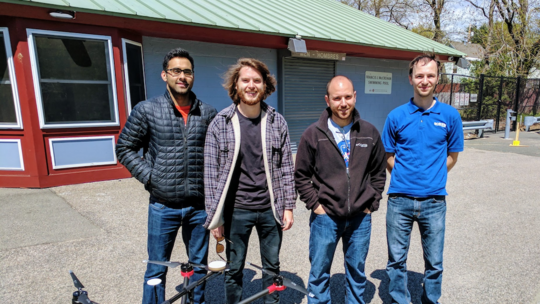
Founded in early 2015, Scanifly has eight employees and it’s currently raising its second round (Novak declined to disclose the amount of the seed round). Next steps for the company are reaching out to more players in the solar industry as well as other industries, including constructions civil engineering, and students. According to Novak, students at Penn State’s Engineering Department are using Scanifly3D to design solar systems on their buildings.
A support for virtual reality to be added to the software is also in development. According to Novak, landscape architects could soon “immerse themselves” in a virtual replica of their design to experience it in the first person. The feature should start rolling out in late summer.
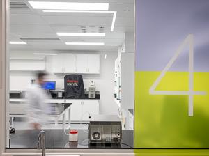
Photo provided.