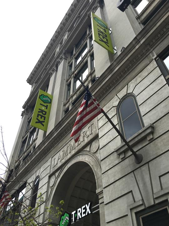
Downtown innovation and entrepreneurship center T-REX has awarded the first grants through a new program designed to accelerate geospatial technology projects.
T-REX said Friday it has given $100,000 in grants through its GeoSeed Grant Program. The grants target research projects that are being completed through partnerships between local universities and companies. Funding for the grants has come from T-REX, the National Security Innovation Network and Maryland-based Freedom Consulting Program.
The GeoSeed Grant Program is one of several initiatives undertaken in recent years by T-REX to try and boost St. Louis’ growing footprint in the geospatial technology sector. T-REX’s fourth floor includes its Geospatial Innovation Center, which spans more than 16,000 square feet and has several geospatial companies operating there. Additionally, NGA recently opened Moonshot Labs, its first unclassified innovation center, at T-REX. That facility totals about 12,000 square feet on T-REX’s third floor and is designed to provide a software factory and digital maker space to drive geospatial technology innovation among the public and private sector.
“St. Louis’ future will be built on technology, and our goal of becoming the nation’s geospatial hub is coming to fruition,” said Patty Hagen, president and executive director of T-REX, in a statement. “To facilitate the only geospatial innovation center in the nation is an accolade and privilege built on a focused vision to utilize St. Louis’ strengths in growing the geospatial industry. We welcome the entire geospatial industry with open arms, physically and virtually.”
Projects being funding through T-REX’s GeoSeed Grant Program include:
- GEOZOO: This project is a collaboration between the Saint Louis Zoo and Lindenwood University. It is focused on developing teaching materials that include extended and virtual reality.
- Integration of Geospatial Features for Wireless Power Energy Informed Operating System: Washington University and Forcyte, a startup focused on wireless power technology, will conduct a feasibility study regarding the use of geospatial features in energy informed operating systems.
- Mixed Reality Interface of Geospatial Data toward Efficient, Effective, and Reliable Bridge Inspection: With this project, researchers from Missouri University of Science and Technology are teaming up with St. Louis-based drone startup Xeo Air on a mixed-reality platform designed for bridge inspections.
- Building Foundations for a Geospatial Research and Education infrastructure at Washington University in St. Louis: This project, a collaboration between Washington University and Infralytics, aims to support “development of geospatial research and education infrastructure at Washington University in St. Louis, with an emphasis on detecting bedrock fractures.”
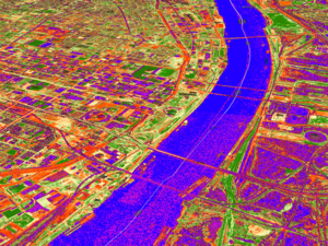
- Rivers of Data Project: Real-time Balloon Remote Sensing of River Conditions: Three organizations are teaming up on this project, which involves an application designed to offer high-resolution imagery on rivers and water conditions. Saint Louis University, St. Louis-based startup Stratodyne and Redlands, California-based Esri are involved.