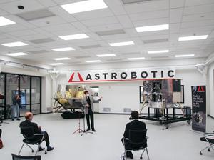
What might have been one small step for Astrobotic Technology Inc. could end up being a giant leap for the future mapping and navigation of icy moons: The Pittsburgh-based company announced it successfully conducted several rounds of testing on its AstroNav software which utilizes cameras, LiDAR and other software from the company to build accurate, 3D maps of an area in real-time.
To conduct its most recent round of testing, Astrobotic engineers traveled to Alaska as part of a NASA Small Business Technology Transfer (STTR) Phase II-X contract. Over the course of four days, the team of engineers piloted a drone with AstroNav software over rugged textures and ice on the Knik Glacier, which is about 60 miles east of Anchorage.
According to Astrobotic, its technology could be used by the next generation of spacecraft to identify and target landing sites on currently unmapped terrains like the icy planetary moons orbiting Jupiter and Saturn.
"Unlike the Earth or moon, icy moons in the outer solar system have no existing map data available, and their icy terrain is difficult to robotically map because of their reflective properties," Andrew Horchler, chief research scientist at Astrobotic, said in a prepared statement. "Think of it like a bat using sound to ‘see,’ but with light."
The company said further analysis of the data obtained from Alaska will ideally provide additional insights into building autonomous landing systems for unmapped planets or moons.